NASA's Curiosity rover descends to the surface of Mars. (Photo : Getty Images/NASA)
Mars, popularly known as the red planet, might seem like a dry, arid and probably a dead place. However, an international team of researchers from the United States, Germany and China has discovered that it once had an enormous ocean and was much more dynamic than Earth.
Having discovered signs of two massive tsunamis in the northern hemisphere of the Martian terrain, the scientists suspect that these might have been a result of crater-carving impacts. The study, published in the journal Scientific Reports, revealed that Mars was much more aggressive and powerful that previously believed.
The researchers suspect that the landscape of the planet must have been sculpted by the mega-tsunamis that left deposits on the Martian land. The study of the deposits is expected to reveal whether the red planet was once habitable or sustained any kind of life form.
The mega-tsunamis are thought to have been as high as 400-ft and could have been triggered by the impact of two meteorites striking the surface of the planet. The team led by J. Alexis Palmero Rodriguez from the Planetary Science Institute in Tucson, Arizona, based their findings on the study of the Martian terrain.
Previously, a team of NASA researchers, as described in the journal Science, suggested that the Martian lowlands of the northern hemisphere were completely destructed by floods nearly 3.4 billion years ago. This resulted in the formation of a huge ocean that spread across more than a million square kilometers.
However, the researchers were curious to find the shoreline and its expected features, which were not discovered then. Now, Rodriguez and his colleagues have come up with an answer.
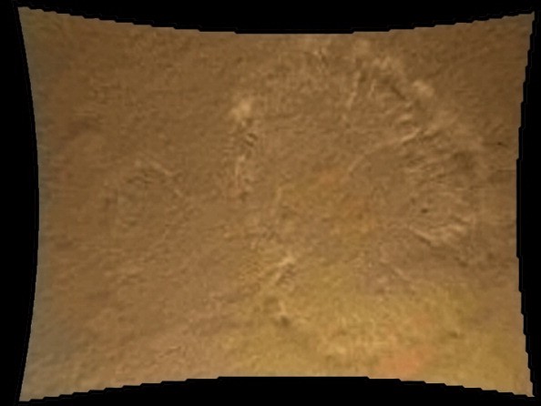
The team thinks that the impact of the tsunami might have buried the ancient shoreline and it might have deposited tons of sediments inland. Using a set of photographs captured by the cameras aboard Mars Global Surveyor and Mars Odyssey Orbiter, the researchers identified the ancient ocean region and marked the boundary between the highland and lowland.
In addition, the team examined two sets of deposits in the region, one contained boulder and the other one consisted of water and ice. The scientists predict that the deposits are a result of the mega-tsunamis that buried the ancient shoreline.
The images studied by the researchers indicate that the first tsunami might have left boulders as deposits. This resulted in a rocky terrain on the surface of the planet. When the second tsunami hit million years later, Mars cooled down and the sea-level reduced.
The following video examines the possibility of finding cold humans on Mars:


