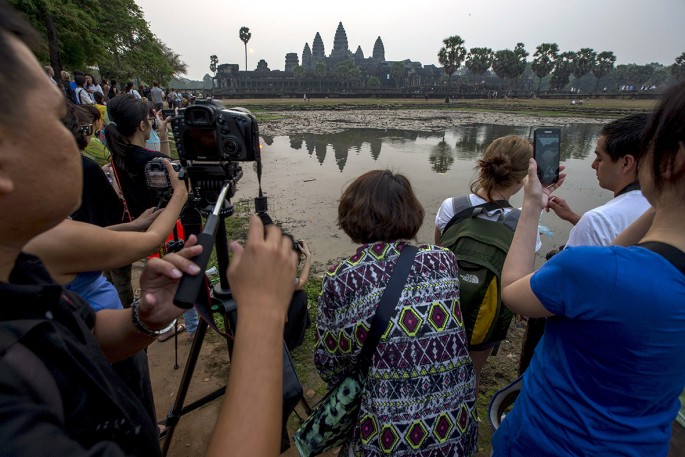
The Angkor Wat in Cambodia attracts millions of tourists every year that the local government has employed crowd controls and on-site monitoring to ensure that it is safe from destruction. The threat still looms, however, and satellites might help in preserving the heritage site.
China's "sky eyes" can provide another layer of protection by collecting and processing images of the temple in real time using remote sensing.
"Basically, we have eyes in the sky and we can see what happens to the ancient temples and their environment immediately," said Hong Tianhua, the deputy director and secretary-general of the International Centre on Space Technologies for Natural and Cultural Heritage under the Auspices of UNESCO (HIST).
By using remote sensing technology, preservationists and authorities can monitor the impact of tourism and other environmental dangers to the Angkor Wat, a remnant of the Khmer Empire.
HIST, the Institute of Remote Sensing and Digital Earth (RADI) of China, and Cambodia's APSARA or Authority for the Protection and Management of Angkor and the Region of Siem Reap, signed a memorandum of understanding in 2014, allowing the use of data gathered by Chinese satellites.
China also helped APSARA build a ground station that serves several functions aside from receiving and sharing data in real time. Training was provided through international workshops to educate researchers and managers of world heritage sites from 12 developing countries in Asia and Africa about the technology.
"For the first time ever, our systems are monitoring the temples and their neighboring mountains and rivers. Those temples are sacred places for locals and mean a lot to them. They are grateful and we are proud to help," said Hong.
Angkor Wat's temples have already gone extensive restoration since the structures were declared as a World Heritage site in 1992.


