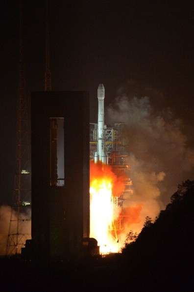
A Long March-3B carrier rocket carrying China's Chang'e-3 lunar probe takes off from the Xichang Satellite Launch Center on Dec. 2, 2013, in Xichang, China. (Photo : Getty Images)
China launched a satellite capable of providing clear images of the Earth shot from space that could prove useful for the surveillance of contested territorial waters, among other things.
Aboard a Long March 4C rocket, the Gaofen-3 high-resolution satellite was launched at exactly 6:55 am local time at the Taiyuan Satellite Launch Center located in the northern province of Shanxi, China.
According to the state-run Xinhua News Agency, the satellite is equipped with a synthetic aperture radar (SAR) payload which allows it to perform tasks like "disaster warning, weather forecasting, water resource assessments, and the protection of maritime rights."
Talking to China Daily, China Academy of Space Technology's Gaofen 3 Project Head Xu Fuxiang explained that the satellite will be instrumental in closely monitoring marine environment as well as islands, reefs, ships and oil rigs that are located within the country's jurisdiction.
This is all due to the Gaofen 3's capability to capture wide pictures of the Earth in a particularly detailed manner with its 12 imaging modes.
It is also expected to gather data to be used to forecast weather in order to prevent or at least limit damages during calamities and can also be used to assess water resources in China.
It can also provide high-definition remote sensing data for users, making it the country's first ever low orbit remote sensing satellite with a life span of eight years.
Prior to Gaofen-3, China has already released a couple of Gaofen satellites into orbit including Gaofen-2 which was launched into space in August 2014 to take full-color images that are accurate to 0.8 meters. It can also capture multispectral pictures of objects that are at least 3.2 meters in length.
The Gaofen-4 which was launched in 2015 is dubbed as the country's first geosynchronous orbit high-definition optical imaging satellite and is also the most sophisticated of its kind all over the world.


