Apple Maps will have transit services as par of iOS 9 update (Photo : Twitter)
Apple is making some heady improvements in its official mapping application so that these will now include public transportation data such as bus, subway and train route details.
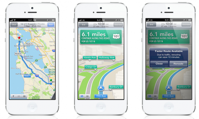
This will also mark the first time such enhancements are being meted out to Apple Maps ever since the Cupertino company parted ways with Google Maps in 2012. The new enhancements will be part of the iOS 9 update that Apple is expected to announce during the upcoming WWDC event on June 8.
These were originally planned for inclusion in iOS 8 but were ditched at the last moment due to reasons that 9To5Mac described as data inconsistency, personnel issues as well as Apple's ability at the time to depict only a portion of what the company considers to be among its prime market areas. The feature was set to be announced at WWDC 2014 but was decided against due to the above mentioned reasons.
However, sources maintain the same layout as was designed last year is going to be used to launch the transit service. This means there is going to be large icons to depict airports, train station or subway station for easy spotting. iPhone users will no doubt find it all the more convenient to make their way through unknown terrain - read big cities - now with transit directions in place, Fortune claimed.
In addition to the above, Apple is also reported to be working on enhancing its indoor navigation mapping project. This, Apple believes will help iPhone users to make their way through office buildings, university campuses, historical buildings, museums and other such locations.
However, this is still a work-in-progress thing with Apple having let loose robots equipped with iBeacon sensors to map its own office space. This would be followed with similar endeavour to cover other prominent office locations before it is finally unveiled for public usage.


