Durita Andreassen (Photo : Twitter)
Google's Street View cars have become famous for capturing the world's big highways and country roads, but some areas are even too remote for SUVs, or have a small human population. The Faroe Islands are an archipelago between Norway and Iceland with 20,000 more sheep than people. Tourism advocate Durita Andreassen decided to map out the country for Google Street View.
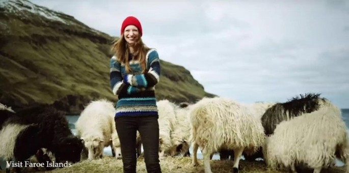
The Faroe Islands include 18 pieces of land. They are located between the Norwegian Sea and North Atlantic Ocean in Northern Europe. "Sheep Island" contains about 50,000 people and 70,000 sheep.
During this summer Andreassen explained in a blog post how she had made 360-degree videos on the Faroe Islands using camera-equipped sheep. She asked Google to help map the large roads and beautiful landscapes.
Andreassen's idea was to put Google's 360-degree cameras on the farm animals to get a "Sheep View" of the small country. Google then flew in supplies and trained the local residents to operate the camera equipment.
The gear included a Street View Trekker and 360 cameras. Trekker is a 40-pound (18-kilogram) backpack with 15 cameras. Locals and tourists can help to map the islands' city streets and rural areas.
One problem Google had to disentangle was sheep that walked off the road to large areas of green grass. Andreassen had a solution.
Google added selfie sticks to different objects such as helmets, bicycles, kayaks, cars, and ships. They even attached the devices to wheelbarrows and horses.
Travelers to the Scandinavian islands who want to help with the Google project can go to the "Visit Faroe Islands" office in the town of Tótshavn or Atlantic Airways at the airport, according to Android Headlines. They can borrow a Google 360-degree camera from there.
Peter Neubauer is the co-founder of a crowdsourcing photo map service who learned about the Sheep View project. He then spent five days driving around the Faroe Islands. Neubauer used a camera rig on top of his car to snap photos of the region.
Google wants to collect mapping data from global regions that are not included on Google Maps. People can send 360 camera footage to the tech giant or use the loan program for its Street View cameras.
In related news, the latest beta version of Google Maps has some new features. They include local traffic notifications; voice commands to avoid tolls, highways, and ferries during road trips; and the ability to make custom lists, according to Android Authority.


