St Helens (Photo : Youtube)
Scientists will now be able to map the trend of magma flow in the Mount St. Helen using 70 monitoring devices. These devices are placed at various strategic locations around the volcanic rim.
They use seismic waves generated using Dynamite triggered blasts to produce ultrasound like images of the molten rock beneath the volcanic surface.
According to China Topix, these devices become inaccessible during the winter months; hence, researchers were not able to collect readings from these devices until now. Alan Lavender, a Geologist at Rice University expressed her elation over having collected data which possessed considerable advantage over the previously collected two dimensional data which took seven years for decryption.
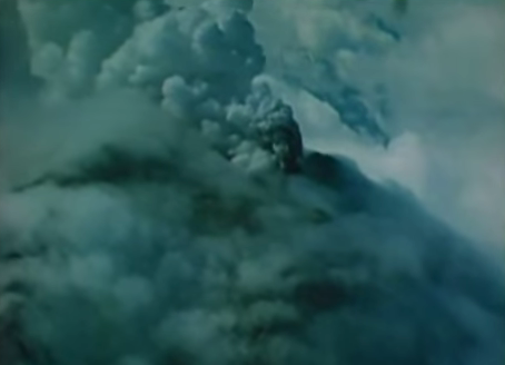
The volcano located between Seattle and Portland last erupted 35 years ago on 18 May 1980 and killed 57 people and led to a loss of about $1 billion. This explosion led to spewing of hot ash and rocks over a wide area.
Kenneth Creager, a seismologist of the University of Washington remarked that though seismic activity and gas emissions presently help to predict such eruptions but the exact intensity cannot be predicted.
However, according to Reuters the team of researchers from various universities and federal agencies aspire to prefect the advance warning system in this regard and then use the data obtained from this study in volcanoes which overlook the more populous areas such as Mount Rainier near Seattle.
Scientists monitored the eruptions before the 1980 incident also although no tools they lacked the understanding to interpret those results.
Besides, earlier this year the US Geological Society remarked about the increasing magma levels in St Helens though they did not observe any signs of an impending eruption.


