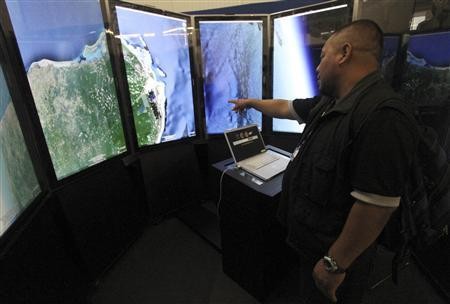
Google Earth (Photo : REUTERS/GERARDO GARCIA)
Google Earth turns 10 years old and it added new features that will help travelers see and explore the world better. After a decade of its service, Google Earth still wants to boost its capacity to make traveling easier and even better.
The California-based tech giant introduces a new feature called Voyager. This feature is a new layer for Earth that allows people to visually explore the world via new and interesting images. Desktop users are the only lucky ones that will be able to use this feature, seeing breathtaking images that are likely fit into bigger screens. Google also added that this is the only the first version of the feature, meaning they are going to keep and refine Voyager in the future, Slash Gear reported.
Voyager allows the user to explore across five different sections that house thousands of locations to choose from. Users will be able to use Street View that showcases the best places to explore on a street level.
On the other hand, Earth View provides images of the best landscapes that can be seen from outer space. There is also a new satellite imagery that provides a map of the newest overhead location pictures, and a selection of cities and town in "photorealistic 3D."
Google Earth Engineering Manager Sean Askay said that the company is broadening its Earth View image collection up to 1,500 landscapes gathered around the world, capturing the best sceneries on continent and ocean parts. Users can get the new imagery on Google's Earth View Chrome extension, or download them in high-resolution from the new Earth View Web gallery, according to The Next Web report.


