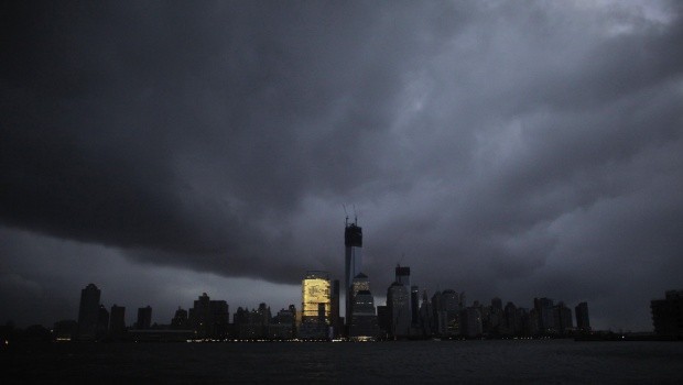
Spring's biggest storm will cross the path of some 30 million people from the Gulf of Mexico to Canada and east to the Atlantic Ocean on April 8, Wednesday.
Giant hails are already dropping at the Midwestern areas with threats of tornadoes anywhere within the country. A student from Ohio College was injured as he got struck by lightning on Wednesday night.
Missouri and Indiana were given tornado warnings as the system began blending into "supercells," according to meteorologists they are severe thunderstorms carried by cyclone-like winds. It is not very common type or thunderstorms but it is very dangerous explained the National Weather Service, NBC News reported.
"There'll be a lot of supercells," explained Ari Sarsalari, a meteorologist for The Weather Channel. "That's why we have the tornado threats. That's why we have the hail threats."
There are several states across the country that will have twister threats. Parts of Kentucky, Texas and Oklahoma are added to the danger zones besides the first two states mentioned earlier, Missouri and Indiana, according to MSNBC.
The danger is expected to shift going eastern part of the country. The states of Chicago, St. Louis, Missouri, and the Great Lakes are those included in the danger zones.
The big thunderstorms started to roll in the areas of Indiana, Missouri, and Kentucky early Wednesday morning which was followed by hails and breaking the winds in the afternoon.
There were strong lightning that struck in Nelson County in Kentucky which put the state and Indiana under tornado watch alert until Thursday morning.


