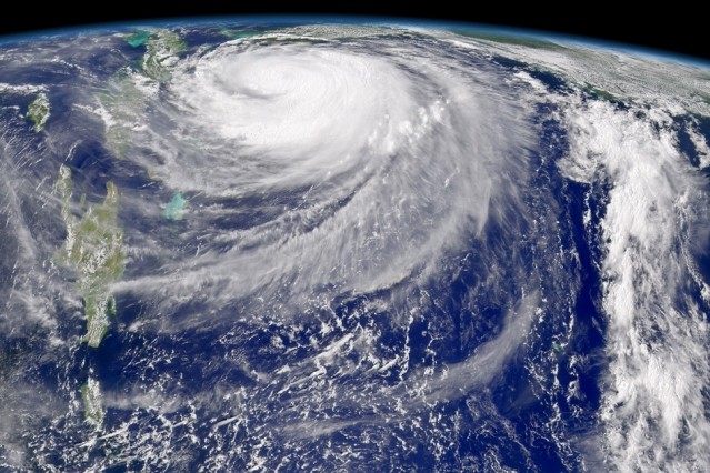
Hurricane Frances on Sept. 3, 2004. Florida is just barely visible at the top center of the image, while Cuba, Jamaica, and Hispaniola line up vertically along the left. (Photo : SeaWiFS Project, NASA/Goddard Space Flight Center and ORBIMAGE)
Scientists now predict that extremely rare cyclones called "grey swans" will now become more frequent than ever before in the next century for Florida, Australia and the Persian Gulf. Grey swan cyclones are considered as rare tropical storms or hurricanes that are impossible to predict based from historical records.
This new study is led by Ning Lin, who is a professor of engineering from Princeton University and Kerry Emanuel who is a professor of atmospheric science of the Massachusetts Institute of Technology (MIT), where their team have analyzed historical records and used physics related knowledge on storms and environmental conditions to generate computer models of possible storms.
Storms and cyclones usually occur when strong winds are combined with an atmospheric pressure drop along with rough sea levels where a storm surge arises due to a temporary rise in sea level.
Lin says that their study aims to predict extreme storm patterns that have not been recorded in history and also conduct new methods to predict changes in storm weather that includes climate change factors.
These possible storms are called grey swans since they can be predictable which is unlike "black swan events" however, these have not occurred yet.
She adds that this study will focus on extremes that are beyond observations and experience but can still become predictable in some extent.
For example, a 5.7 meter storm surge in Cairns, Australia can occur in a one in 10,000 year storm event but with the looming factors of climate change, this one in 10,000 year events can now become more common than ever.
The study's models also reveal that a 37 foot storm surge is possible along with a Category 3 hurricane in Florida, moving along the Gulf Coast and then inland towards Tampa. In the Persian Gulf, these storm surges can also occur since the weather is so hot and could contain possible hurricane potential even if the region is not familiar with this kind of weather.
This new study is published in the journal Nature Climate Change.


